DroneDeploy

Surveying
- Leverage built-in support for ground control, checkpoints, and RTK GPS technology
- Generate reports compliant with survey standards
- Export map data to your local or state projection system
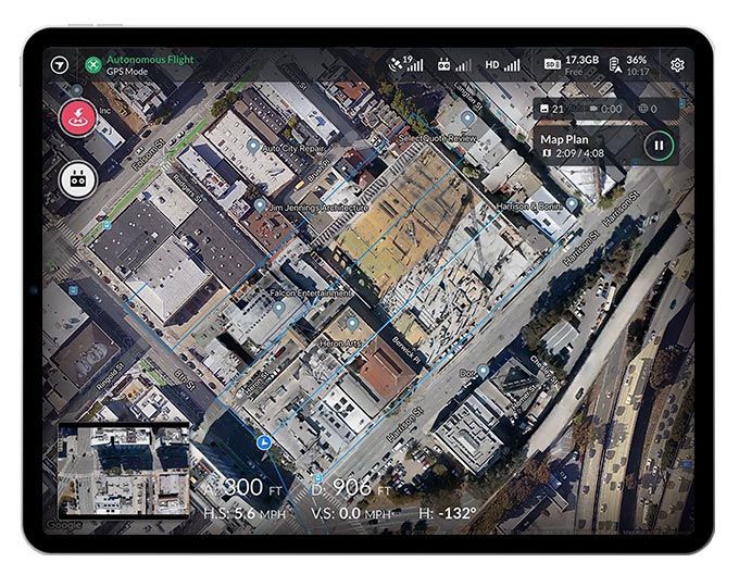
Flight Mission Planning
- Create and share flight plans with your drone team
- Autonomous flight from take off to landing
- Maintain safety by checking off the in-app pre-flight checklists

Map Processing Capabilities
- Generate Compatible FLIR thermal radiometric maps
- Explore NDRE, NDVI and multispectral maps for agricultural analysis
- Process and host drone imagery
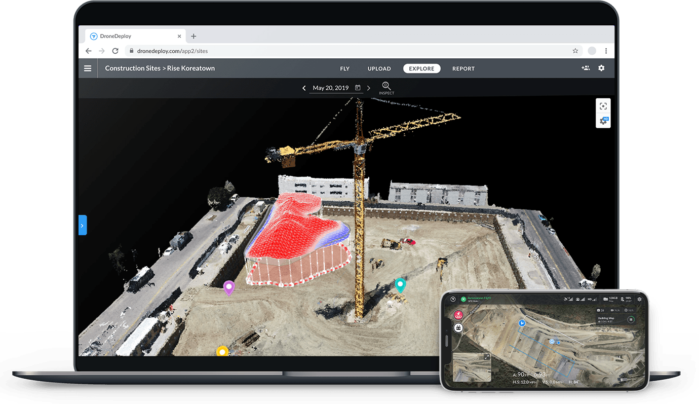
Explore Data in One Place and Collaborate from Anywhere
View and design plan overlays as well as compare elevation, plant health and thermal data. Collaboration is as simple as possible due to the flexibility of sharing on-site or back in the office. Additionally, DroneDeploy allows its users to add comments, annotations, and measurements to any map through the desktop or mobile application.

360° Walk-Throughs
Recreate an entire virtual job site with not only photogrammetry maps but also 360° walkthrough tours captured with a 360° Camera.
- Upload any 360 videos from any 360 camera
- Process your walkthrough in under 15 minutes
- View a virtual walkthrough without ever needing to go on-site
- Navigate between your 360 videos or dates to see progress
- Compare two points in time to find and create issues
Drone Deploy and SPOT
DroneDeploy has now collaborated with Boston Dynamics to develop a unique workflow using the new 360° Walkthrough.