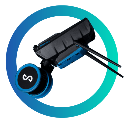
Emesent – Hovermap ST-X

Hovermap ST-X Scan Range
With a LiDAR sensing range of 300 m (984 ft), the Hovermap ST-X allows you to fly higher and faster to expand your transect coverage and provide faster data acquisition over larger areas. As a result, fewer flights are required to cover an area, reducing the time spent setting up, packing, moving, and merging scans.
Vegetation Penetration
Triple returns and a rotating LiDAR (not statically mounted) make the Hovermap ST-X perfect for scanning terrain or forests. The resulting point cloud is dense, making it easy to classify scanned objects.

Real-Time Point Cloud
Hovermap ST-X streams a point cloud map directly to your control tablet to display a real-time data preview as you capture it. The addition of Emesent’s Long-Range Radio accessory enables live streaming and control of the device from up to 20x further, allowing you to view real-time data and set waypoints for guided exploration from an even greater distance.

Survey Grade Scans
In addition to improving accuracy for common mapping tasks, Hovermap ST-X with ground control points can create survey-grade scans for long, linear assets, large and feature-poor environments previously challenging for other SLAM-based systems.

Durability & Adaptablity
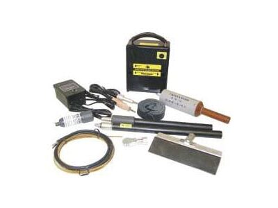
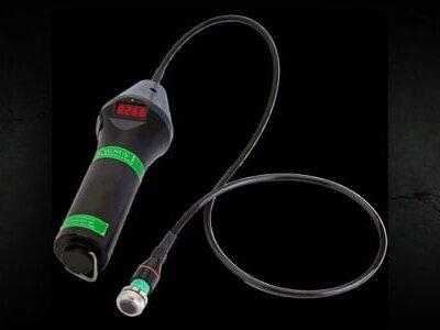
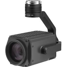
The robust, weatherproof Hovermap ST-X is dust and splash-resistant, making it ideal for use in dusty or harsh environments. Expand your options with accessory ports and mounting points, and add long-range radio, colorization hardware, or an inspection camera.
Benefits of Hovermap ST-X Slam-based LiDAR system.
Collapse According Hovermap Why
Data Collection Speed
Uniquely Versatile
Sub-Centimeter Indoor Scans
Autonomous Capabilities
Specifications
Hovermap ST-X Collapse Specs Accordion
Autonomy
[table “66” not found /]
Physical
[table “68” not found /]
Mapping
[table “67” not found /]